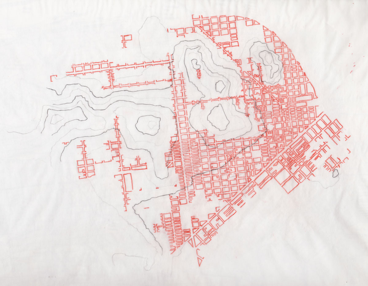
Based on an observation that there were seldom businesses at the tops of San Francisco’s many hills, I decided to produce a map of the city’s dense north-eastern corner, overlaying the Planning Department’s commercial zoning (in red) over a topographic map (in gray). No computer was used at any point in the process.